
NavVis CLX
Mobile LiDAR Scanning System
Everyday reliability
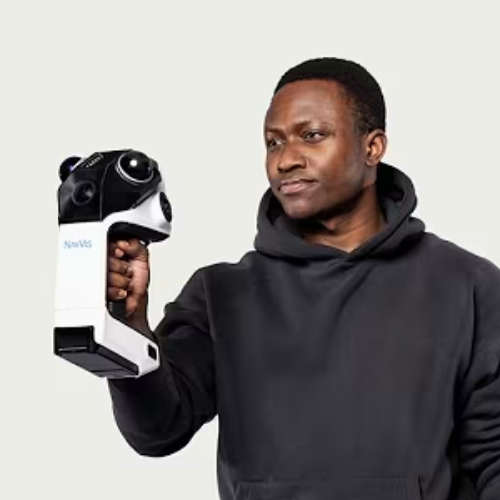
An agile, handheld reality capture device purpose-built for high-volume, everyday documentation workflows.
NavVis CLX helps teams capture and deliver spatial data at scale when simplicity, reliability, and ROI matter.
Unique Benefits
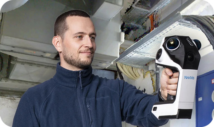
One site visit. Complete data. Job done.
Dual LiDAR plus live coverage feedback on the integrated screen means you validate completeness before you leave site. Revisits are the most expensive line item in a capture project – NavVis CLX is built to eliminate them
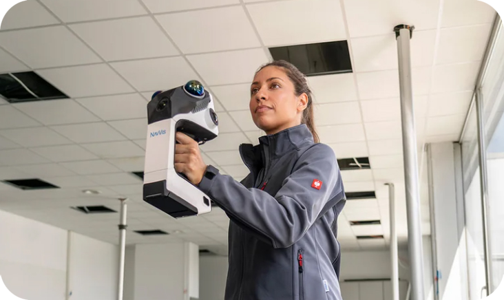
Get it done the first time. Every time.
Fast to learn and reliable in the hands of anyone in your team. Remove the limit on how many projects you take on. Free your senior people from time-consuming site visits and scale throughput without scaling the team.
Draw on ground truth. Not guesswork.
Clean point clouds you can use for LOD200 scan-to-CAD/BIM. No double walls, tilts, or spray artifacts. Draw on ground truth, not data you have to interpret or second-guess. Fewer cleanup hours mean more projects with the same headcount – and consistent quality your clients can trust.
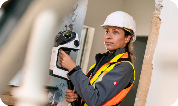
From site visit to deliverable. One workflow.
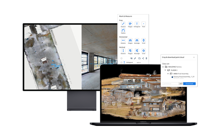
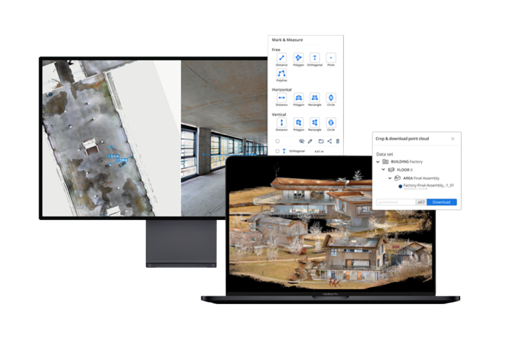
Capture on site, process the data in the cloud, and access it all in one place from anywhere. No other tools in between. Download the .e57 file or an orthophoto for drawing in CAD tools or stream the point cloud straight into Revit. Always work on the reliable ground truth. And because IVION is a digital copy of the site, the whole project team can explore, measure, plan, and verify. It is more than just a scanner. It is a workflow.
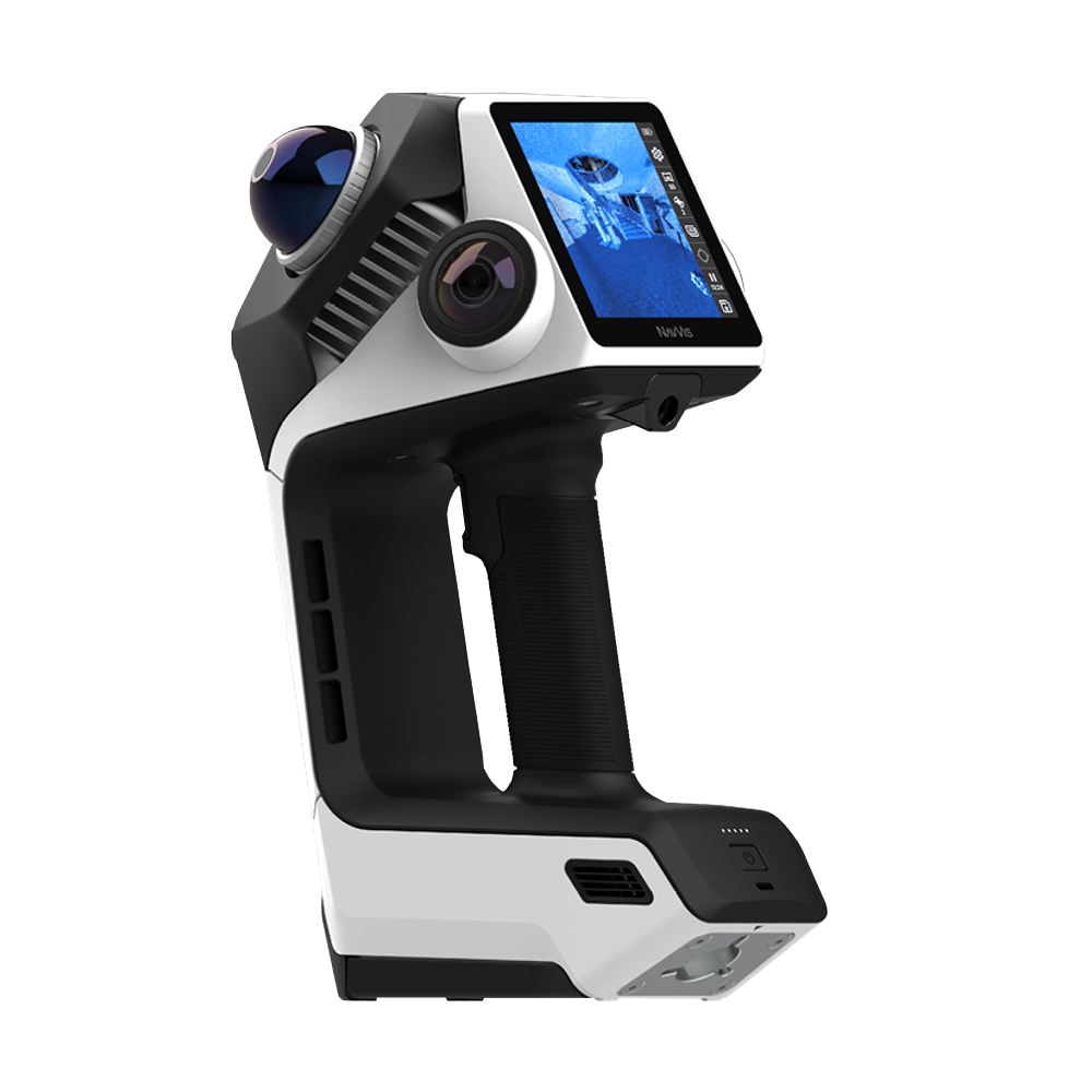
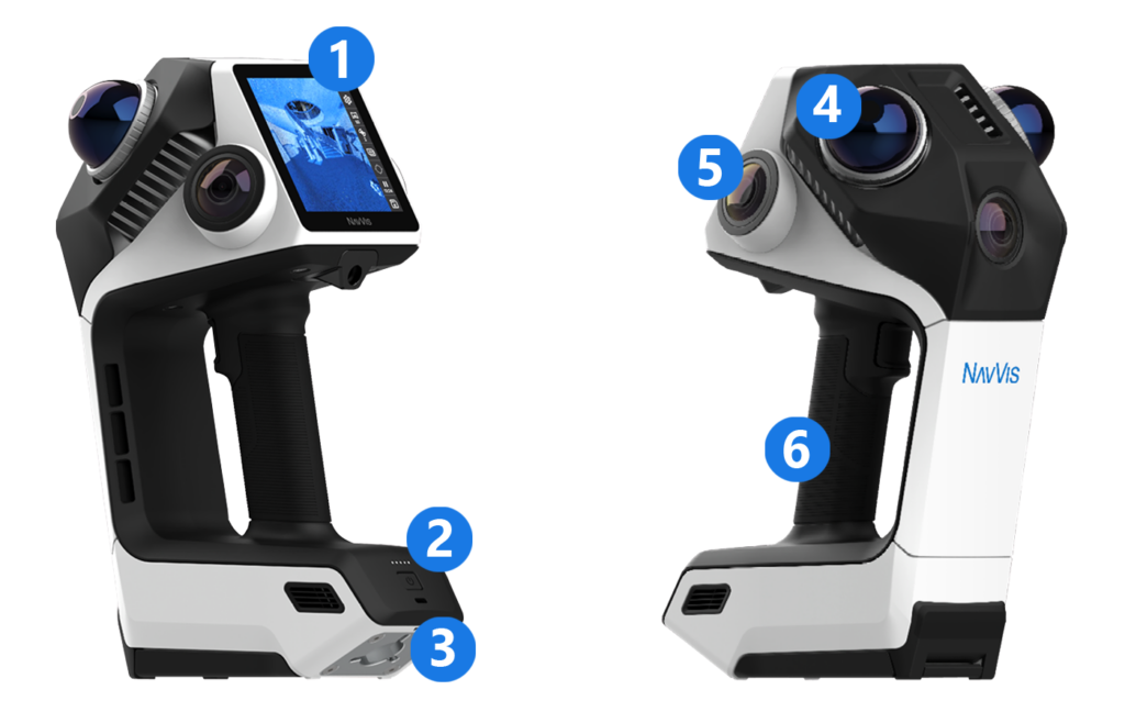
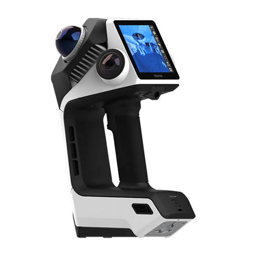
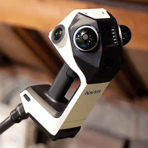
1. Built-in display for live 2D and 3D feedback
2. USB-C charging port
3. Quick-release pole and mounting adapter
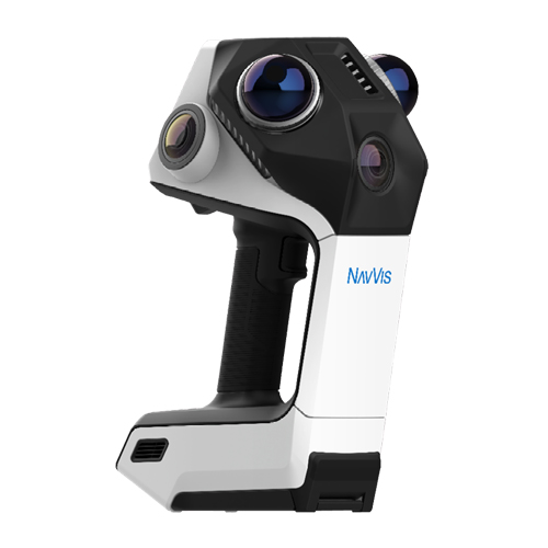
4. 2x high FOV LiDAR sensors
5. 3x 12MP cameras for panoramic images
6. Easy-grip handle for best ergonomics
Trusted by Reality Capture Professionals
See how industry professionals are using NavVis technology to capture reliable data faster, more efficiently and with greater flexibility.
“NavVis technology is fast, and we achieve a high level of quality – more than enough for most projects.”
“For wayfinding, indoor capture, and general site understanding, the data quality is more than fit for purpose.”
NavVis CLX Features
Trusted, high-quality data
NavVis CLX produces clean point cloud data suitable for documentation, measurement, and downstream modeling workflows. Teams can work with dependable scan data while reducing cleanup effort.
Simple to learn, operate and scale
NavVis CLX is fast to learn, easy to deploy, and built for repeatable workflows. Integrated 2D and 3D feedback helps teams onboard operators quickly and scale capture across more projects.
Built for the real world
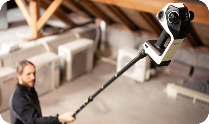
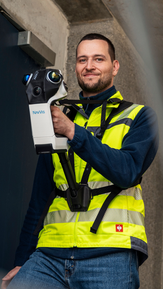
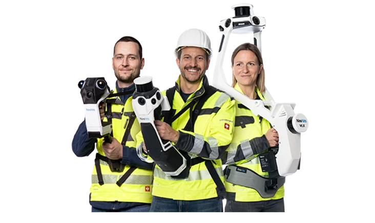
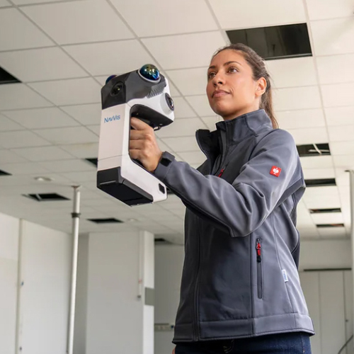
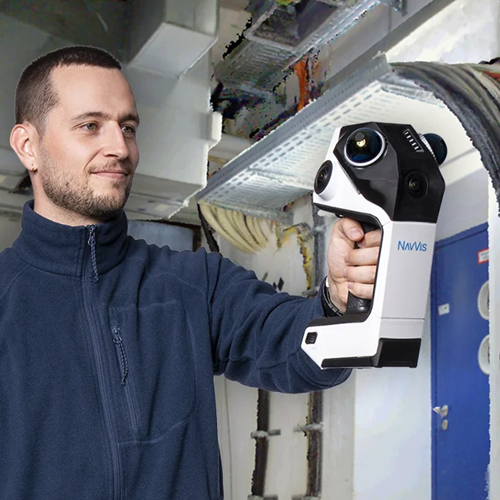
Lightweight, ergonomic, and flexible, NavVis CLX supports reliable documentation in occupied or confined areas. A quick-release pole and mount adapter enables access into hard-to-reach spaces and the included harness helps operators work comfortably during longer capture sessions.
Reliable, complete data capture
Dual LiDAR architecture, live visualization of coverage (2D and 3D) help operators validate capture completeness while scanning. The result is with less uncertainty and fewer costly revisits.
Purpose-built
NavVis CLX is designed for repeatable, high-frequency documentation workflows such as area referencing, site assessment, quantity surveying support, and LOD200 scan-to-CAD/BIM.
Efficiency beyond capture
Together with IVION Processing and IVION, NavVis CLX supports an efficient workflow from capture to processing, data access, collaboration, and deliverables.
Ready to See What NavVis CLX Can Do for Your Team?
Speak to the BuildingPoint SA team about your requirements and discover how NavVis CLX can make reality capture faster, simpler and more efficient.
How it works
Software
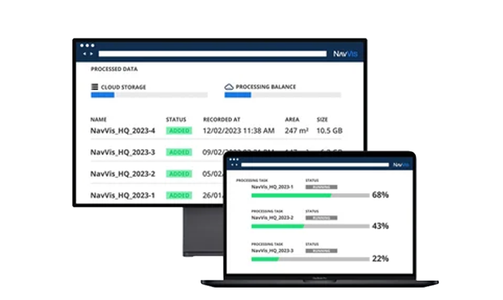
NavVis CLX is optimised to work seamlessly with IVION Processing and IVION, helping teams move efficiently from capture to processed data, access, and deliverables. Capture reliable as-is and as-built data with minimal effort, then process, manage, and share it in one connected workflow.
Together, NavVis CLX and IVION provide an end-to-end reality capture solution for everyday documentation, area referencing, and site assessment, and reliably support LOD200 Scan-to-CAD/BIM workflows. This combination helps teams reduce manual effort, support collaboration, and deliver consistent spatial data at scale.
Related media
Videos
Images
Request more Info | Get a Quote
Please complete the form below to submit your quote request.
Quote Form
Frequently Asked Questions
What is a mobile LiDAR scanner?
A mobile LiDAR scanner is a portable device that captures accurate 3D spatial data while moving through an environment. It uses SLAM technology to generate point cloud data in real time without the need for static setups.
What is the NavVis CLX used for?
The NavVis CLX is used for reality capture, surveying, construction documentation, and creating digital twins. It is ideal for scanning indoor environments and complex spaces quickly and efficiently.
How accurate is the NavVis CLX?
The NavVis CLX delivers a processed data accuracy of up to 8 mm.
What is the difference between a mobile LiDAR scanner and a static scanner?
A mobile LiDAR scanner like the NavVis MLX allows users to capture data while walking through a site, making it faster and more flexible. Static scanners require multiple setups and are better suited for fixed, high-precision scans.
Is the NavVis CLX suitable for construction and AEC projects?
Yes, the NavVis CLX is suitable for construction and AEC projects, but its role is strictly defined by the required Level of Detail (LOD) and the specific stage of the project.