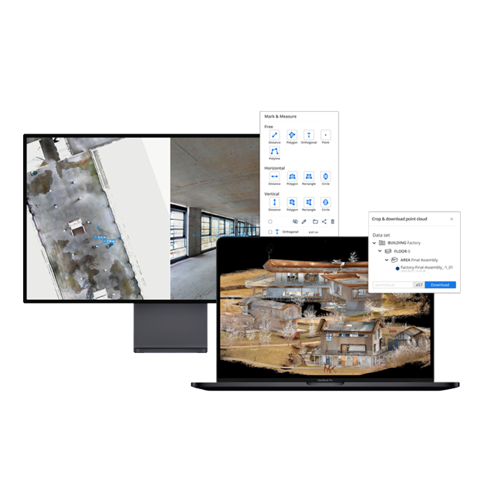
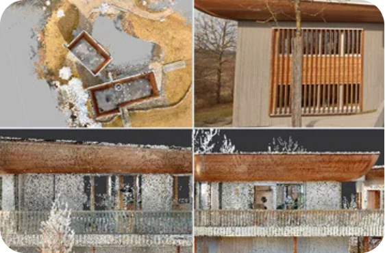
A platform that transforms high-precision reality capture data into clear, collaborative digital spaces that everyone, regardless of their role, can access, understand, and act on.
Across planning, construction, and industrial operations, teams face delays, misalignment, and budget overruns due to siloed tools, outdated drawings, and inaccessible site data. RFIs multiply, assumptions go unchecked, and rework becomes inevitable. On top of this, traditional CAD and BIM tools are often limited to specialists, leaving critical stakeholders out of the loop.
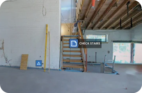
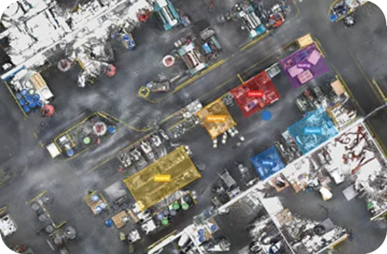
IVION pairs millimeter-accurate scan data with an intuitive browser-based platform, and transforms reality capture into a shared, real-time environment where everyone – from field teams to planners – can explore as-is conditions, overlay design models, verify installations, flag issues, and collaborate remotely. Additionally, with its built-in workflows, keeping IVION data up to date is fast and simple.
In an era of tighter timelines and shrinking resources, IVION delivers the clarity to act now — before the next assumption becomes a costly mistake.
Streamline processes with NavVis software
No matter your industry or role, IVION features and integrations are built to seamlessly support and fit into every stage of a workflow, making daily tasks more efficient and impactful. Discover how NavVis software simplifies, streamlines, and improves essential processes.
Data Processing
Quick, seamless processing of real-world conditions for trusted results.
Data Management & Synchronisation
One tool to accurately align, refine and manage point clouds and panoramas.
Scan-to-BIM
Capture and convert real-world site conditions unto accurate, BIM-ready documentation – streamlining planning, modelling and collaboration.
Model Validation
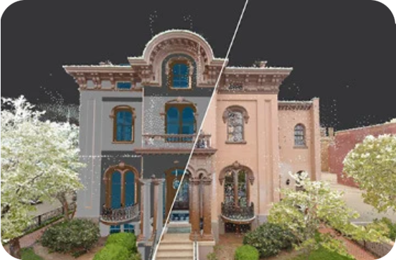
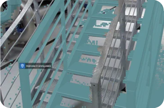
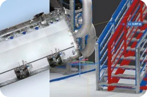
Visually compare 3D models, point clouds and panoramic images within IVION.
Site Management
Plan projects with confidence using up-to-date site information. Provide teams with digital views of sites – accessible anytime, from anywhere.
Conceptual Planning
A shared source of truth for smarter conceptual planning – built on real-world data.
Construction Verification
Accelerate documentation, reduce re-work and streamline construction verification with NavVis reality capture technology and virtual site access.
Asset Tagging & Visualisation
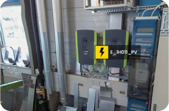
Turn facilities into data-rich environments where assets, issues and insights are visible, actionable and always up to date.
Integrate it into your workflow
IVION integrates with industry-leading third-party solutions to simplify workflows and maximise project efficiency.
IVION supports the following point cloud formats:
Related media
Video
Request more Info | Get a Quote
Please complete the form below to submit your quote request.
Quote Form
×
↓
NAVVIS CLX
Download NavVis CLX Resources
Enter your details below to access the NavVis CLX brochure
or technical datasheet.